
LiDAR vs camera people counting
A camera counts by interpreting a picture; LiDAR counts by measuring distance with light. Choosing between them starts with the space, not the spec sheet.
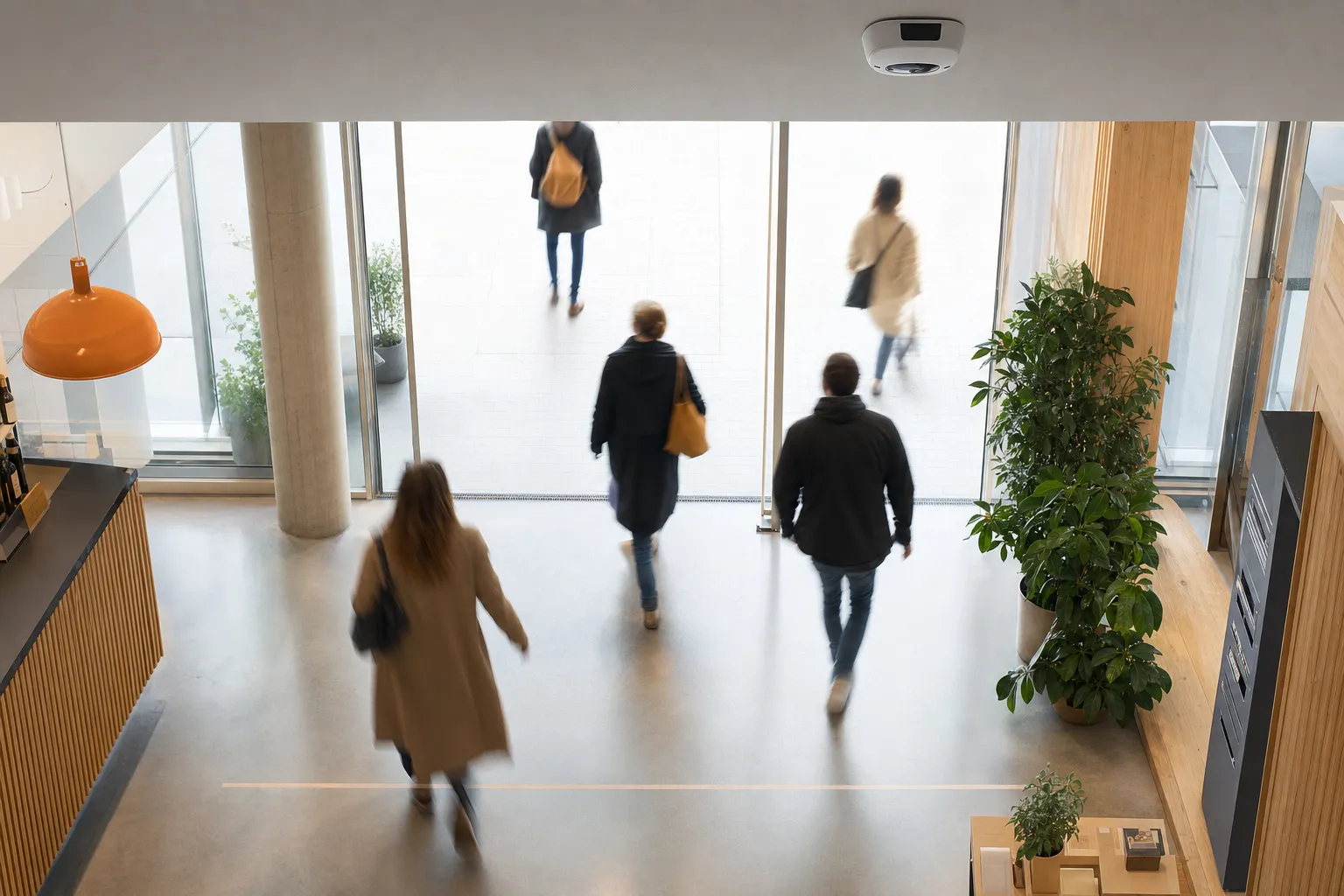
Every precision counting project reaches the same fork in the road. On one side, a camera: familiar hardware that counts by interpreting what it sees. On the other, LiDAR: a laser sensor that counts by measuring where things are. Both produce exact directional counts and live occupancy. Both can be run privacy-first. But they get there by fundamentally different routes, and those routes decide which one fits your space, or whether the honest answer is both.
How each method actually works
A counting camera is a computer that looks. An AI people counting camera is a standard network camera with the counting intelligence built into the device: it analyses video in the moment, recognises people crossing a line or occupying a zone, and sends on numbers: exact in/out, occupancy, queue metrics. In counting mode, no personal images are stored and no individuals are identified; only the numbers leave the camera. Its close relative, the dedicated 3D people counting sensor, is a purpose-built overhead device using stereo vision or time-of-flight, mounted above a doorway to do one thing extremely well.
LiDAR people counting never takes a picture at all. The sensor sweeps its surroundings with rapid, eye-safe laser pulses and times the reflections, building a live three-dimensional map of everything that moves. People appear as anonymous clusters of points with a position, a height and a direction of travel: geometry in motion, which is exactly enough to count them precisely and nothing more.
One method interprets an image; the other measures distance. Everything that separates them in practice follows from that distinction.
Where cameras win, where LiDAR wins
At a well-lit, defined entrance, the two methods do the same job. The differences appear when the conditions get harder, and they sort neatly into four questions about the space.
Light
A camera needs a scene it can read. Modern counting cameras handle a lot, but optical measurement is ultimately tied to lighting conditions. LiDAR brings its own light: laser measurement is independent of ambient lighting, so it performs the same at noon, at night and in total darkness. For arenas after hours, terminals before dawn or any space where lighting would defeat an optical system, the laser does not notice the difference.
Outdoors
Outdoor counting is where the gap widens. Forecourts, plazas, transport hubs and open-air sites combine changing daylight, weather and wide sightlines, conditions that challenge optical systems but leave laser measurement unmoved. The practical caveat sits in the hardware, not the method: outdoor units need weather-rated housings and placement that survives rain, snow and direct sun. And because LiDAR measures moving geometry rather than pedestrians specifically, the same sensor family can also count vehicles and bicycles and measure parking occupancy: one measured picture from the door out to the kerb.
Precision in dense flows
When people move close together (a surge at a gate, a crowded concourse, a rush-hour corridor), a counting system has to keep individuals separated to keep the count exact. This is where LiDAR’s three-dimensional point cloud earns its keep: each person is a distinct cluster of points in space, so the method delivers reliable separation of people moving close together. Cameras remain a strong choice at defined entrances where flows are channelled; LiDAR extends that precision into the open, unchannelled spaces where crowds actually behave like crowds.
Cost per covered area
At a single doorway, a camera is hard to beat, especially where camera infrastructure already exists or is planned, so the device that watches a point can also measure it, and the same hardware can later extend into video security if you choose. Queue metrics at checkouts and service points are also camera territory. But the economics invert as the area grows: in wide or open spaces, a single wide-area LiDAR unit can cover what would take many overhead cameras. For an atrium, a plaza or a concourse, fewer devices covering more floor is the difference that decides the budget. Count doors in camera logic; count square metres in LiDAR logic.
The privacy difference: no image vs processed image
Both methods, done right, deliver the same output: anonymous, aggregate statistics about a space, never people. But they reach that outcome by different routes, and for a privacy review the route matters.
Camera-based counting answers the privacy question with processing rules. The video is analysed in the moment on the device, only numbers leave the camera, no personal images are stored, no individuals are identified. Engineered and governed properly, that is a solid answer: it is how camera counting becomes part of GDPR-compliant footfall analytics, and it is how we run every camera deployment.
LiDAR removes the question instead of answering it. Laser measurement never produces an image of anyone: there is no photograph to process, no face to blur, no footage for a privacy review to worry about. The privacy answer is not a processing rule; it is physics. In environments where a visible lens itself creates friction (cultural institutions, public transit, public space), that difference is worth as much as any technical specification, because there is nothing pointed at anyone and nothing captured to object to.
For a DPO, the practical distinction is this: with cameras, you document that images are processed on the device and never stored; with LiDAR, you document that no image exists. Both paths pass. One of them is shorter. And whichever you choose, it comes from Bumbee Labs, the company behind the only footfall method in Europe approved by a data protection authority: the same privacy-first engineering runs every method we deliver.
When the answer is both
Most real venues are not one kind of space. A transport hub has channelled gates and a wide-open concourse. A retail site has bright doorways and a dark car park. Choosing a single method means accepting its blind spots everywhere the space stops suiting it.
A hybrid setup skips the compromise: cameras at the defined entrances, checkouts and service points where standard hardware and queue metrics win; LiDAR across the dark, outdoor and wide-open areas where image-free laser measurement wins. Each method covers the other’s blind spots, the streams cross-validate, and, often overlooked, a hybrid can lower cost rather than raise it, because you stop over-deploying any single method and place each sensor only where it is genuinely the best tool.
However the counting is done, the data lands in the same place: one platform, one API, one set of dashboards, every metric comparable. Methods differ; the source of truth does not. The question is never “which technology is best?”: it is “which technology is best at this exact point in your building?” Walk the floor plan with that question and the answer usually writes itself: cameras at the doors, lasers in the dark and the open, and one picture of the whole.
Frequently asked questions
Which is more accurate, LiDAR or camera people counting?
Both are precision methods, and at a well-lit, defined entrance they deliver the same job: exact directional in/out counts and live occupancy. The deciding factor is the environment, not the spec sheet. Cameras remain a strong choice at defined entrances and service points; LiDAR extends the same precision to dark, outdoor and wide-open spaces where lighting would defeat an optical system, and keeps people moving close together reliably separated.
Is camera-based people counting GDPR-compliant?
It can be, when the system is built to count rather than to identify. In counting mode the video is analysed in the moment on the device and only numbers leave the camera: no personal images are stored and no individuals are identified. LiDAR takes a different route to the same outcome, no image ever exists in the first place. Either way, what you receive is anonymous, aggregate statistics.
Can I combine LiDAR and camera people counting?
Yes, and many venues should. Cameras cover the defined entrances, checkouts and service points; LiDAR covers the dark, outdoor and wide-open areas. In a hybrid setup both feed the same platform, dashboards and API, so every metric stays comparable across the whole site.