
Visitor analytics for city centres & smart cities
Build smarter, safer and more vibrant urban spaces with fact-based data on how people move, where they gather and how long they stay.
Wi-Fi + cellular across streets and districts, privacy-first.
Trusted by









Why cities choose Bumbee Labs
-
Privacy-first
Anonymous and aggregated from the first signal, with no cameras, built for public-sector privacy obligations.
-
Whole-city scale
Measure flows across streets, squares and districts using Wi-Fi and cellular data together.
-
Fact-based planning
Real evidence for infrastructure, events, safety and property and rent decisions.
How it works
-
Measure
Wi-Fi access points at entry/exits, key street corners and hot spots, fused with operator cellular data for the macro view. No need to blanket the whole area.
-
Process
Anonymous data runs through Bumbee Labs' statistical engine: filtered, processed and calibrated against manual control counts.
-
Deliver
Dashboards on the Explore portal for each stakeholder group, plus exportable graphics for press and the public, and API access into city BI.
What data you get
Measured anonymously across the area, sub-areas and individual locations, on adjustable time scales.
- Visitor counts for the area, sub-areas and individual locations, on adjustable time scales
- Entry/exit and origin, where people arrive from and go to
- Paths, flows and zone correlation, which routes are used, how much, in which direction, and where people go next
- Dwell time, peaks and trends, including the effect of weather, holidays and events
- Conversion, how many pass a location versus enter it
- Crowding and cold areas, for safety and security planning
Combine street-level Wi-Fi with operator cellular (4G/5G) data for the wider catchment beyond the centre.
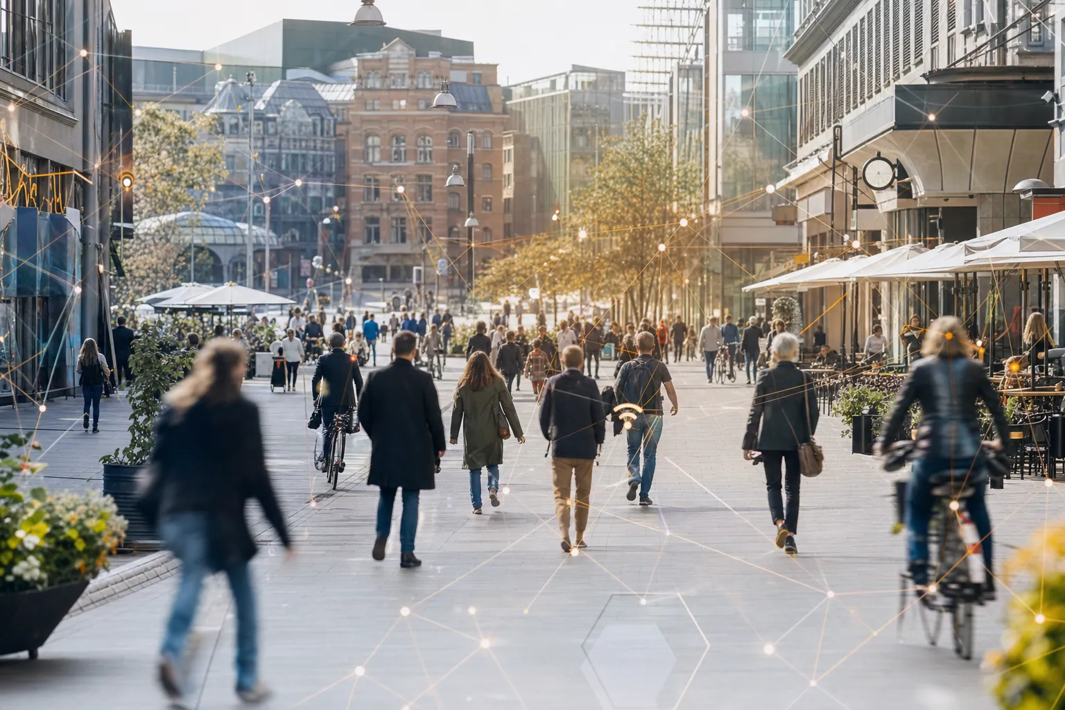
Cities are living ecosystems
To thrive, a city has to balance commerce, culture, security and public welfare, and to compete with suburbs, malls and e-commerce. Accurate, privacy-first pedestrian flow data on how people move, where they gather and how long they stay is essential for planning, safety and economic growth. It serves a whole roster of stakeholders at once: planners and architects, traffic and parking authorities, transport operators, event organisers, property owners, retailers, and police and security. Bumbee Labs measures it with the only footfall method in Europe approved by a data protection authority, evidence a public body can actually use.
What cities use it for
- Create safer, smarter public spaces and manage the risks of crowding.
- Strengthen local commerce and city-centre attractiveness, day and night.
- Support property valuations and rent negotiations with real footfall data.
- Plan infrastructure, events and transport on up-to-date smart city visitor data.
Events put all four to the test: measuring event impact on footfall shows whether a festival lifted the wider centre or only drew a crowd for the evening.
Pedestrian counting and flow analytics for public spaces
Councils, BIDs and urban planners speak the language of pedestrian counts: how many people walk a given street, in which direction and at which hour. Bumbee Labs delivers exactly this: pedestrian counting across key routes and squares, anonymously and without cameras, giving public bodies the evidence base for infrastructure investment, safety decisions and economic development reports. Combine street-level Wi-Fi with cellular (4G/5G) data and the picture extends to the wider catchment beyond the centre.
Proof: the City of Västerås
In practice: the City of Västerås, Sweden’s fifth-largest city, has used privacy-first footfall data for many years to grow city-centre visits year on year and strengthen its day and night economy. Fact-based analysis even revealed that the assumed main street wasn’t the busiest, changing window displays, entrances, property values and rent levels across the centre. Read the City of Västerås case →
Curious what this looks like for your venue?

Compliant where it counts
Anonymous by design and validated by academia, partners and customers: it clears the bar public-sector data must meet.
Telia's partnership with Bumbee Labs is important for us to expand our business. It allows us to develop our use cases for location and movement insights to be even more granular. By combining our anonymized and aggregated mobile network data with Bumbee Labs solution of GDPR-safe Wi-Fi probe data, we ensure that the collection of data follows the strictest guidelines of GDPR compliance all the way.
Frequently asked questions
Is this suitable for public-sector use?
Yes. Because the method is anonymous and was approved by a data protection authority, it is well suited to municipalities and other public bodies with strict privacy obligations.
Do we have to cover the whole city with Wi-Fi?
No. Covering entry/exit points, key street corners and hot spots is usually enough. Each visitor is given an anonymous alias that's recognised across measured zones, so journeys between areas can still be reconstructed.
Can we measure where visitors come from beyond the centre?
Yes. Street-level Wi-Fi can be combined with operator cellular (4G/5G) data to understand movement in the wider macro environment.